Great Bike Adventure: Following The Middlesex Canal
Biking along the (remnants of) the Middlesex Canal.
Back in the day, our forefathers had a problem: how to get goods around the early USA. And do it cheaply. Specifically, in Massachusetts, the issue was how to get goods from the mills in Lowell on the Merrimack roughly 30 miles to the deepwater port of Boston. Overland travel was limited by oxcart, at a speed of 0.00001 mph. Apparently it was the same cost to ship goods literally from Britain (yes 3000 miles away) than it was to bring the same goods 30 miles by oxcart. Wow.
The British had come up with a solution: simply dig a river and float your goods down this river. The forefathers decided to give this a go. It would be called the Middlesex Canal. This was 1790 by the way, only 15 years after the USA even existed. Of course this adventure predates the invention of the steam shovel by nearly 100 years, and therefor the digging of the canal would be performed entirely by hand. Our forefathers were apparently very robust people.
So, the canal. The Middlesex Canal was a massive 27-mile long canal built in about 10 years, from 1793 to 1803. It was the first of America's canal-building craze. It inspired, and was studied by engineers working on other large projects, namely the Erie Canal. The Middlesex canal is definitely for sure Massachusetts' first Big Dig.
Bill Warner aptly describes the Canal's History:
"You wouldn’t think that technology was changing at a breakneck pace back in the days of lazy canal boats moving at two miles per hour on a trip from Boston to Lowell, MA. And you wouldn’t think that our Founding Fathers, including John Hancock and John Adams were “venture capitalists” in their day." (Source)
The Middlesex Canal construction claims many industrial innovations and inventions, including the development of the first dump cart to move all of the displaced ground.
After its construction, it attracted a lot of traffic, both from commerce, including many of the mills in Lowell, and enabled both cheap freight transport to/from Boston Harbor and providing a form of public transit.
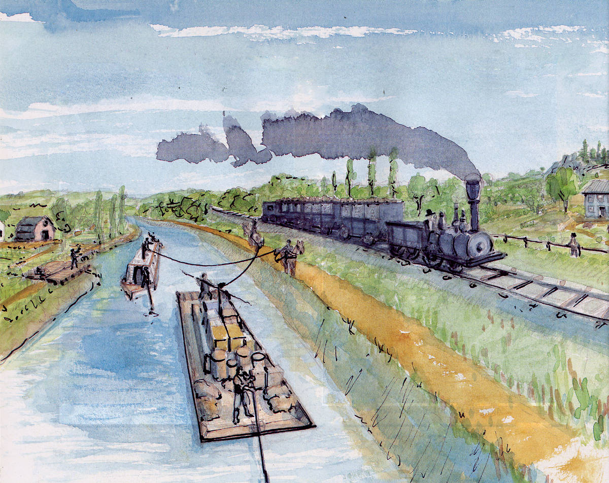
A painting of the train tracks running alongside the canal, where a boat pulled by a horse can be seen.
In our shared fascination with water and early civil engineering feats, Austin and I previously biked a much more direct path to Billerica mills and Middlesex Canal museum last winter. It was much colder and darker that day, but we were inspired to come back and look around more some other time. This is that other time!
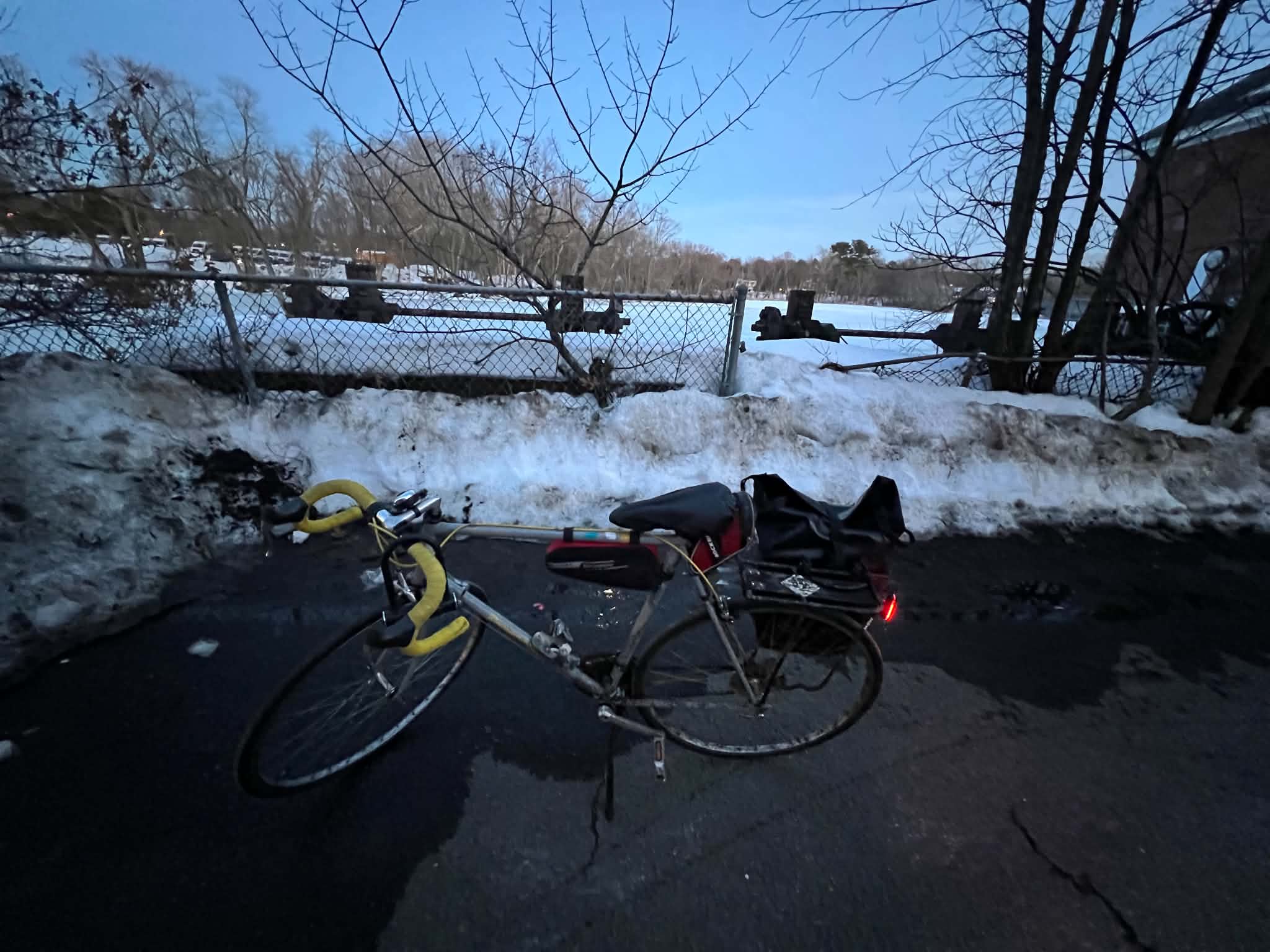
Feb 28. 2026 Biking to the Billerica Mills. This was a couple days after a large snowstorm in Boston, so you can see that the dam (and much of the sidewalk) is covered in snow. Bless the Boston municipalities for being so quick at shoveling the snow for us to bike in winter. Taxes put to good use :)
Biking the canal that isn't there
The canal originally terminated into Boston Harbor. However much of the land in that area has since been filled in, and thus that end of the canal started in modern-day Camberville Area. Additionally, the first mile of where the canal was have been completely built over, and no remnants can be seen. The red areas on this map show where the canal once was, much of it paved over with highways and various industrial areas. It is curious to wonder whether the canal, although long gone, is what created these industrial areas in the heart of the city.
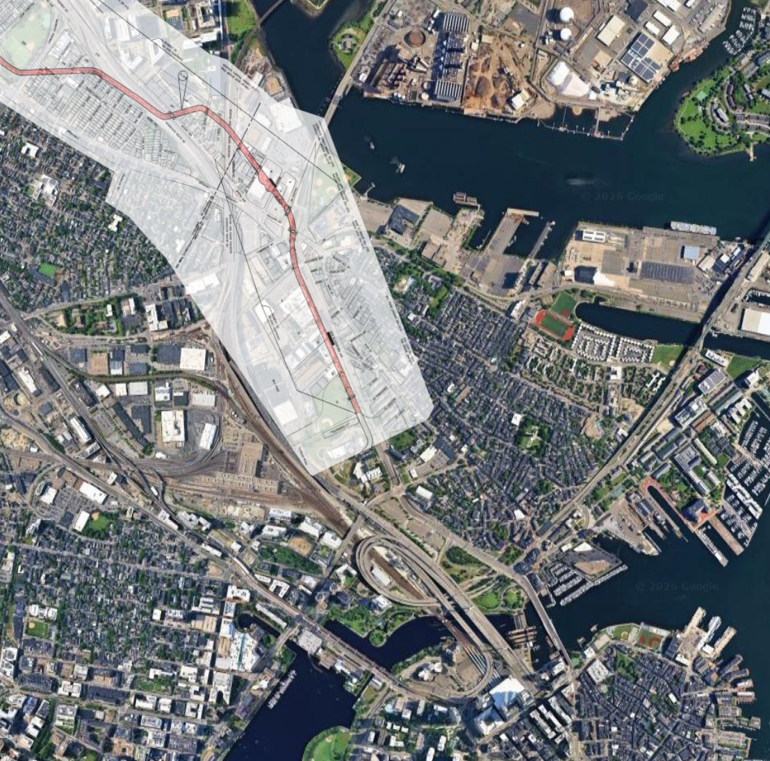
The Middlesex Canal Map overlayed over the modern Boston map. You can get a scale for how much of the bay was filled! To view the map, click here. Source: The Middlesex Canal Commission
We decided to start our bike adventure in Medford, where the first remnants of the Canal can be seen. West Street follows the original canal path. Biking down this road, it is apparent that it is a bit wider and flatter than your average Boston-area street. I wonder why....
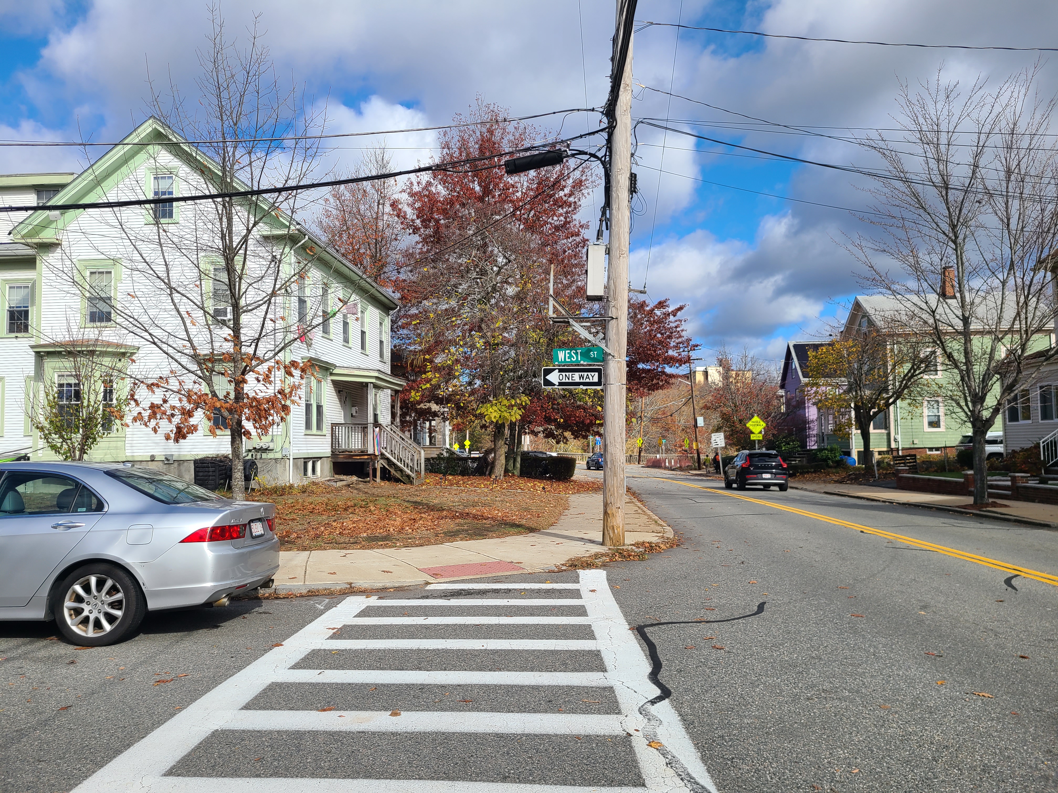
Start of the first visible landmark: a section of West Street was laid directly over the Middlesex Canal route.
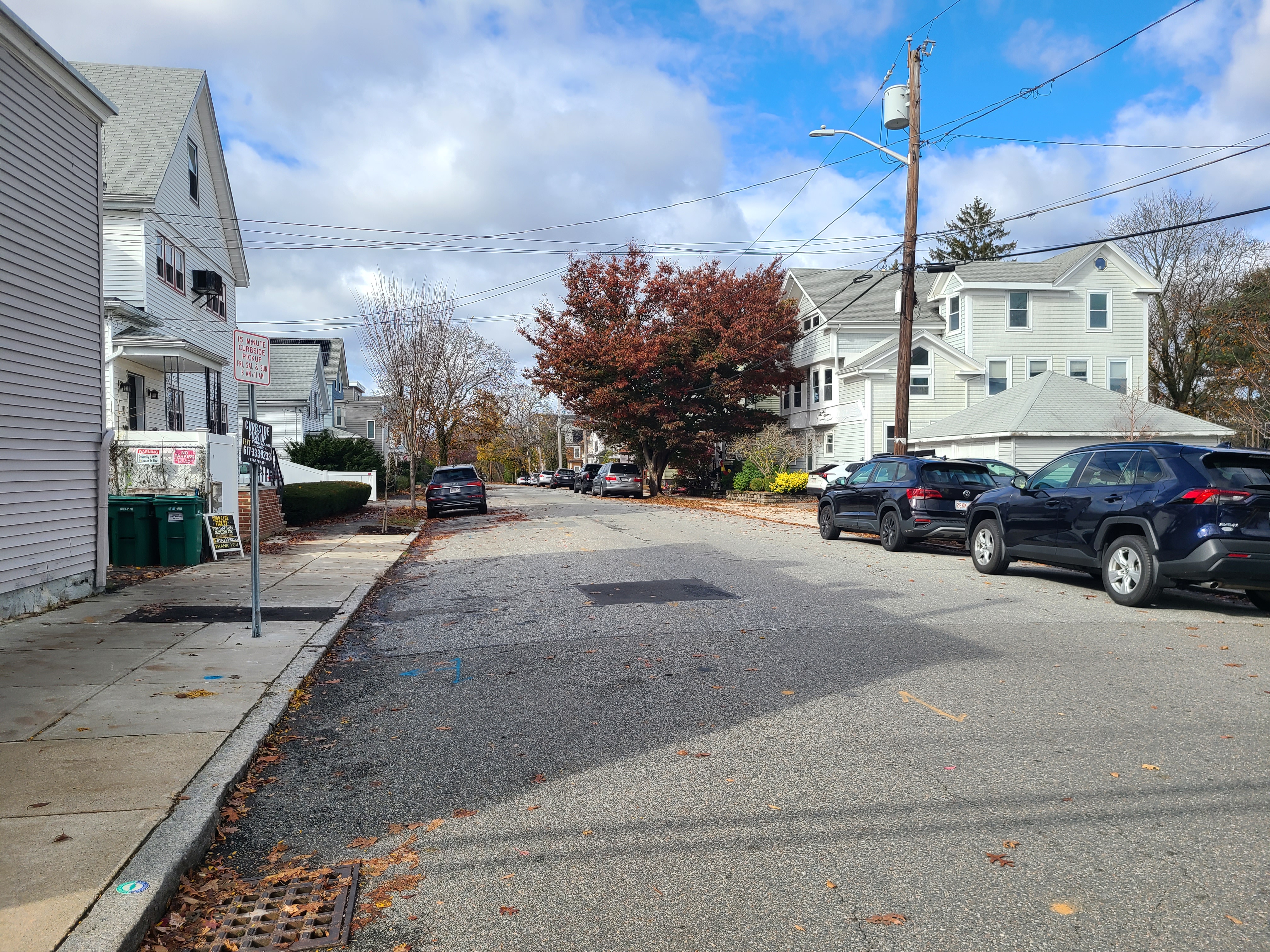
Another view of the West Street -- you can see how this road is much wider than a typical residential road in greater Boston. That's because this road used to be a canal!
We continued following as closely along the path of the old canal as we could, until we reached the first visible remnants of the canal near Mystic Lakes.
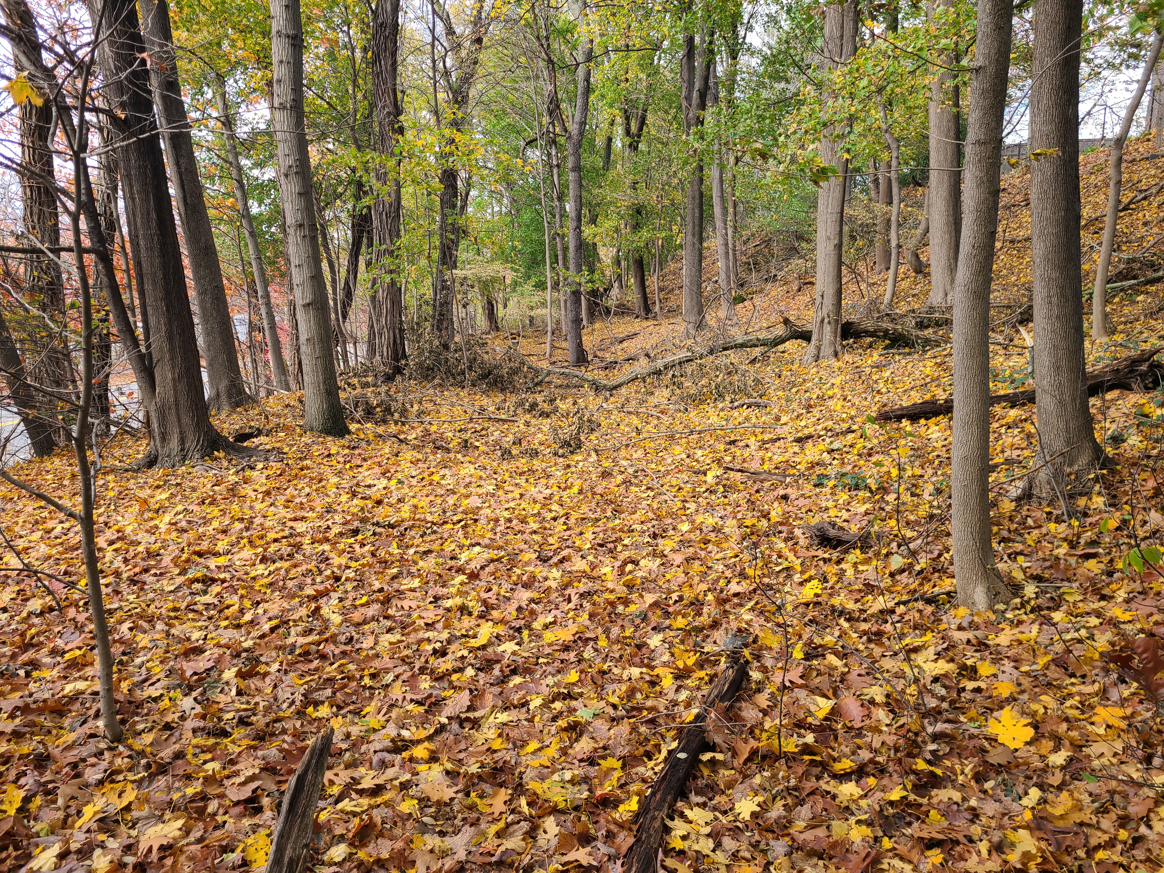
A plot of ~unusually~ flat land running along the mystic valley parkway. You can see a flat area (the canal bed) with another, slightly taller, patch of flat land to the right of it (the canal tow path).
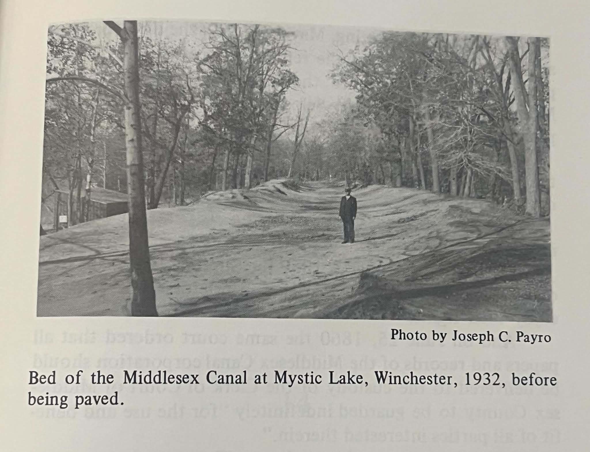
A photo of the similar section of the canal. (source: Mary Stetson Clarke's "The Old Middlesex Canal" book)
We then continued following the road until we reach the remnants of an aqueduct that carried the canal across the Mystic Lakes.
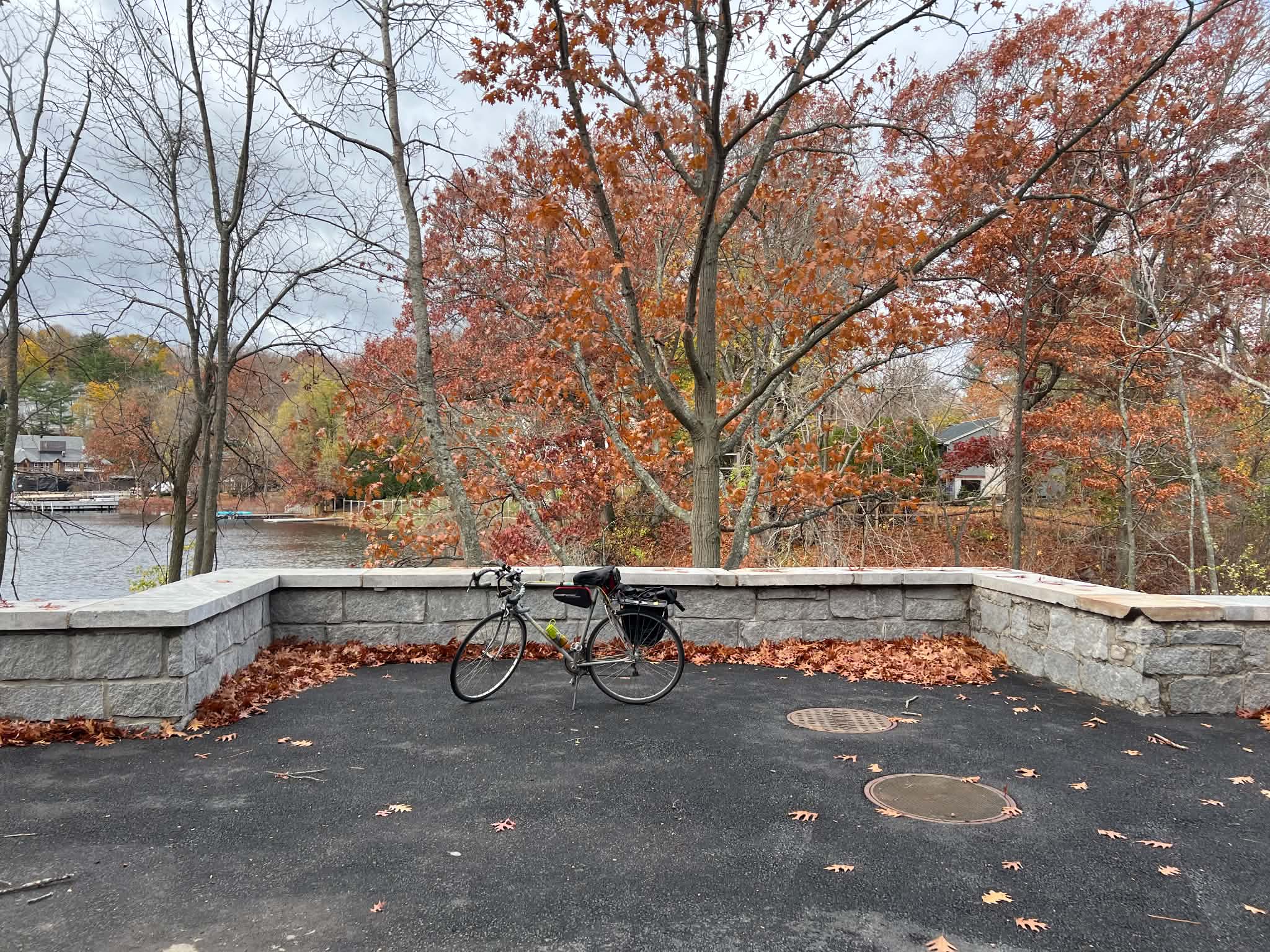
My bike in front of the (restored) remnants of the aqueduct.
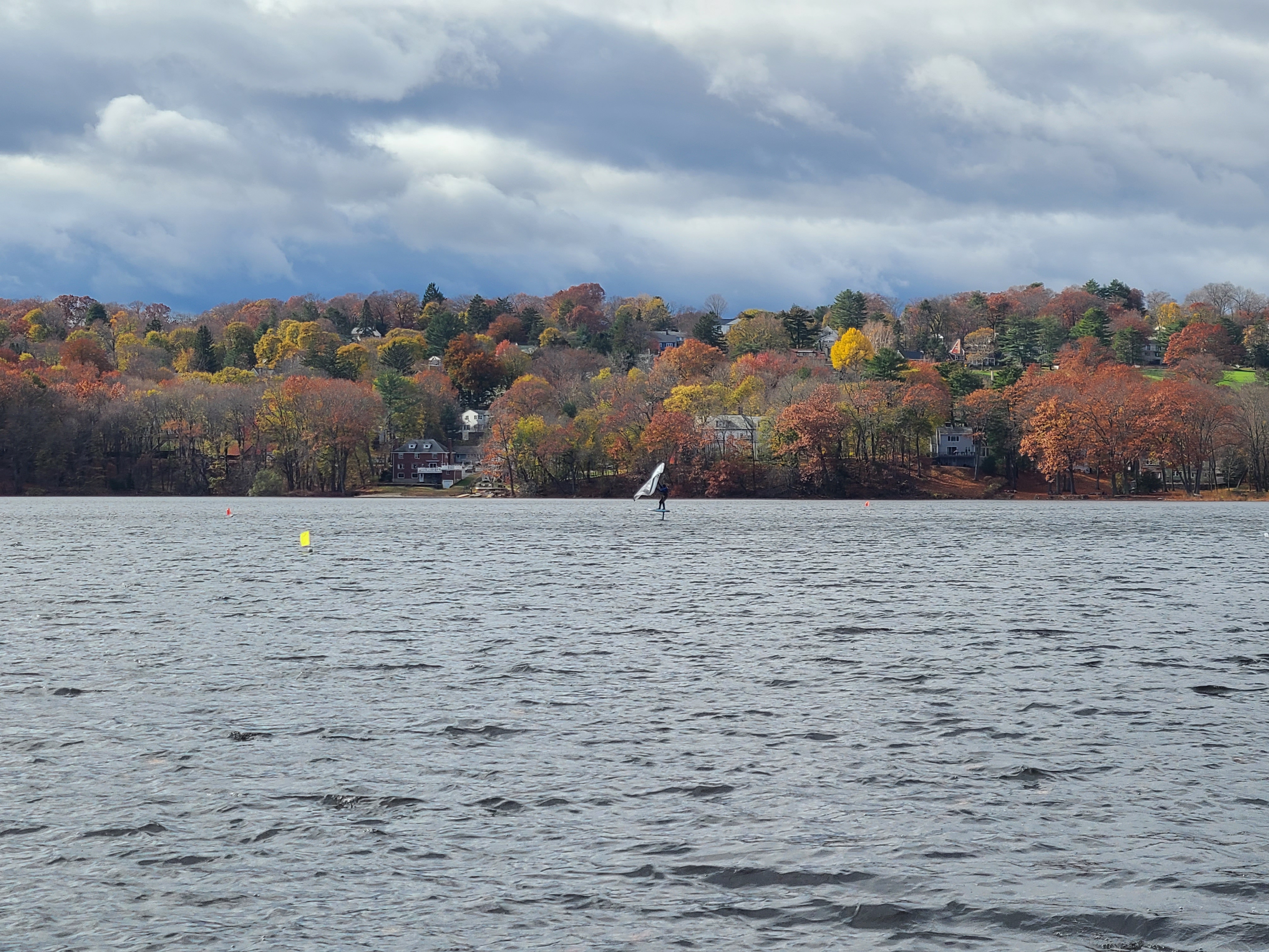
Our friend also happened to be hydro foiling on the Mystic Lakes that same day :)
After crossing the Mystic lakes on an aqueduct, much of the immediate following path has been built over into a residential area. So, we continued down the bike path, following along the roads and houses that now cover the old canal.
We did our best to parallel the old canal, which was quietly flowing between the multi-family homes of Winchester, MA. We followed the path along the side roads, wondering how much of this town's history was shaped by the canal.
Perhaps the most iconic part of the canal that remains standing is the Shawsheen River Aqueduct, which has since been named a historical landmark by the American Society of Civil Engineers.
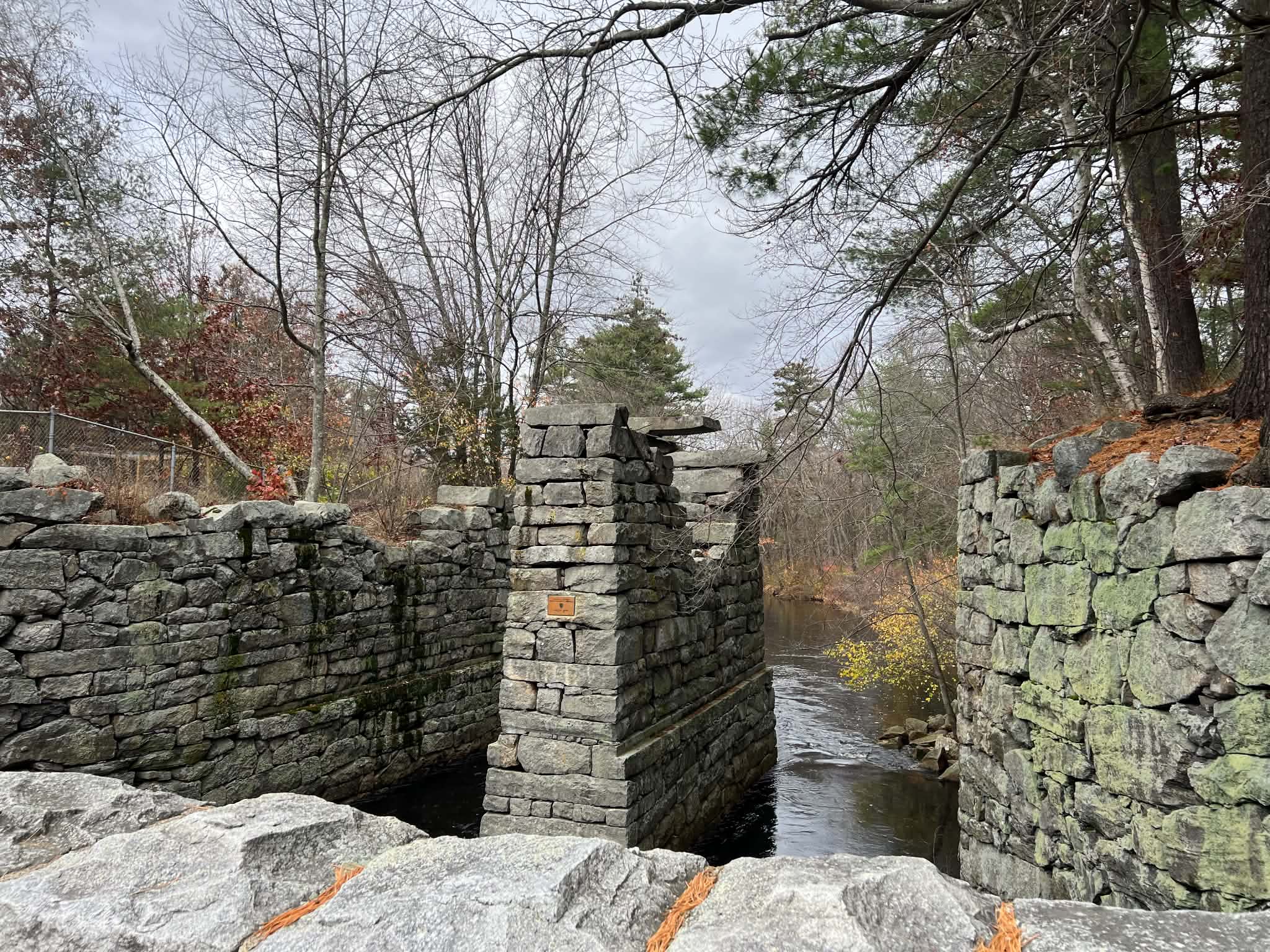
Much of the rest of the path of the original canal has been converted to rail. MBTA's commuter rail now operates on it (which we took on our way back to experience that part of the journey).
So, we biked along the roads for another ~6 miles. Some interesting highlights include Bawdwin Landing, a manor and a loading dock of Colonel Loammi Baldwin, who worked on the canal and then later sold his famous variety of Baldwin apples.
We also saw a beautiful Mill Pond Falls, a half circle of small concentric falls, transforming a quiet water of the pond into the roaring whitewater that disappear under the bridge.
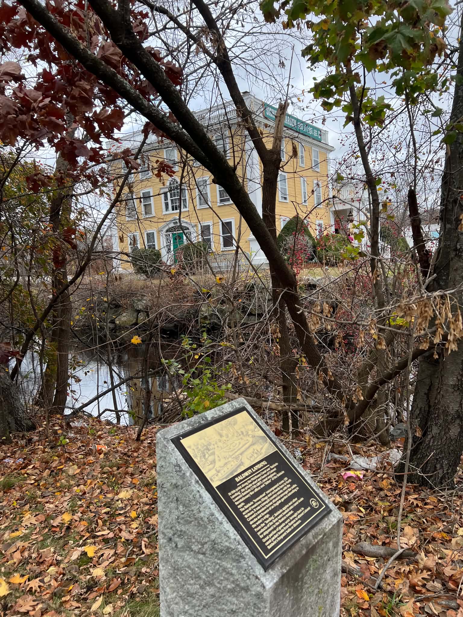
A plaque with the canal and the Bawdwin manor in the background.
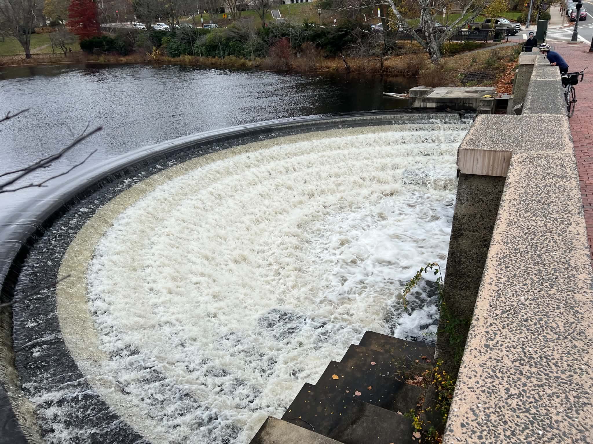
Mill Pond Falls -- isn't this beautiful!
After just over 20 miles of biking, we reached the Billerica Falls and the Middlesex Canal Museum (which is open every weekend 12-4 pm!).
Billerica Falls is not only the highest point of the canal, but it was also an operational mill. While the waterwheel and a turbine are long gone, the old penstock and the spillway are still there. The current land has made some progress towards demolishing the dam, but much of the paperwork remains to be done before the dam disappears forever.
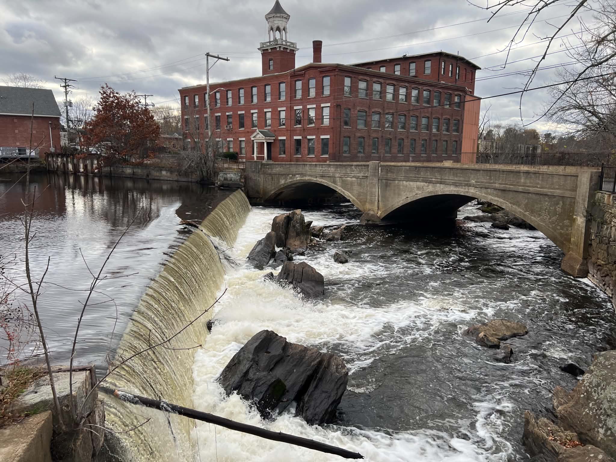
Billerica Falls Dam (condemned for potential demolition as of June 2026. Still, some nontrivial paperwork and planning remains to be completed before the demolition can begin).
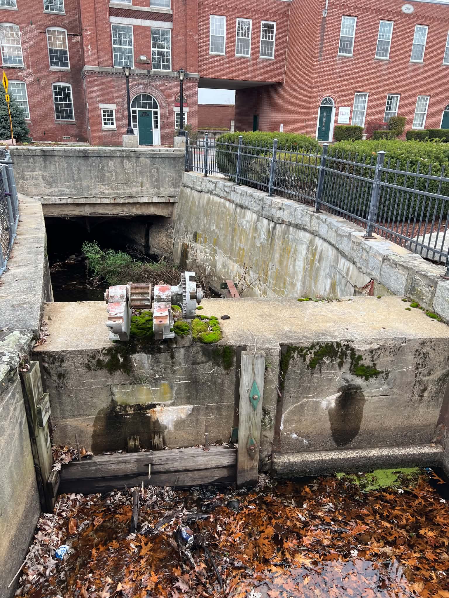
An old gate at the Billerica Falls.
We had lunch and spent some time at the museum with knowledgeable volunteers running the museum. One of my friends, who joined for the bike ride, completed the scavenger hunt and won an awesome secret prize (you'll have to come to the museum to see it for yourself!)
-----------------------------
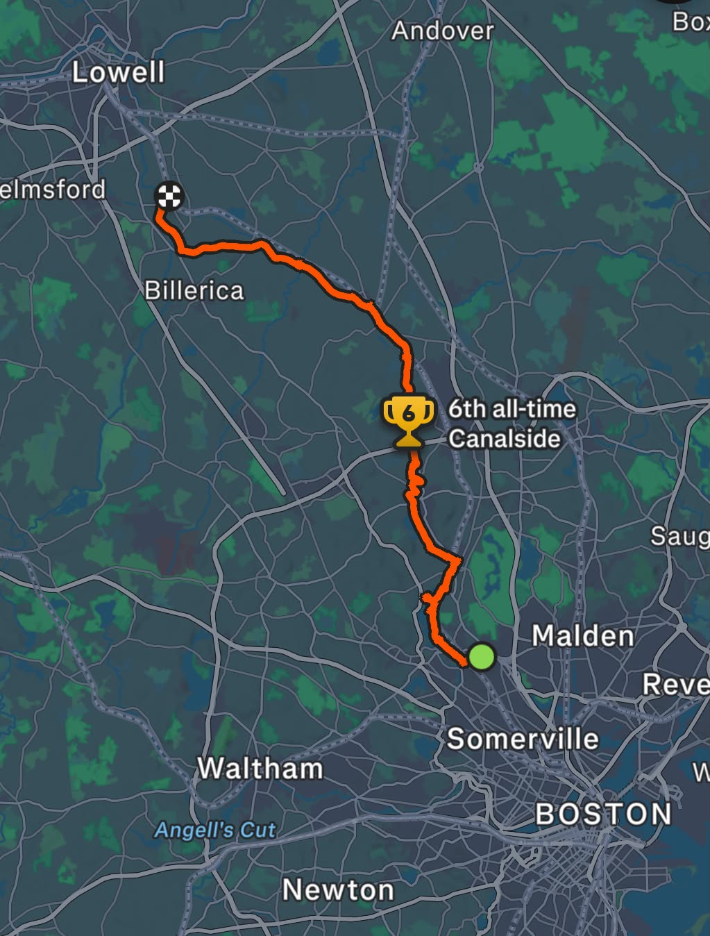
Here's the full bike path (Thanks, Austin!)
References:
"Before the Internet, There Was the Middlesex Canal" (Medium)